Select your language


Ireland Sales Territory Map
Emerald Trade Co. · click a county, a territory or a representative to see the team and contact details.
Places
Round portraits mark each representative’s base county; dashed lines connect them to the counties they cover. Scroll or pinch to zoom, drag to pan, Esc clears the selection. Borders: Republic of Ireland from OSi statutory county boundaries (simplified); Northern Ireland counties are still schematic.
How to add your own places
# Name | latitude, longitude | type | description | link (optional)
Burren National Park | 53.00, -9.00 | reserve | Limestone uplands in Clare. | https://www.npws.ie/
Cliffs of Moher | 52.972, -9.426 | landmark | Sea cliffs on the Clare coast.
Newgrange | 53.695, -6.475 | heritage | Passage tomb in the Boyne Valley.
Save as a .txt file and use Load places file… (or drop the file onto the map). Types: reserve, landmark, heritage, other. Copy coordinates from Google Maps by right-clicking a spot. Your file is remembered in this browser.
Representative directory
Places of interest
About us

I'm a designer. Here you can see my work. Yes, I do my job.
The main rule - you will never see the unfinished work. Only thoroughly polished projects can produce in life.
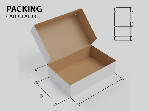
Packing calculator
News
Map of Ireland
06 November 2026
Ai BOX DESIGNER is a panel for Adobe Illustrator
31 October 2026
CNS GLBR Mill — GRBL milling control for Mac
21 October 2026
Select your language
